AL Ezdihar St. 2nd Floor, El AL-Seeb, Muscat - Sultanate of Oman
Field Services
Field Services
Our Field Services at Modon Engineering Consultancy
At Modon Engineering Consultancy, we provide a comprehensive range of high-quality field services that support the successful and precise execution of engineering projects, including:
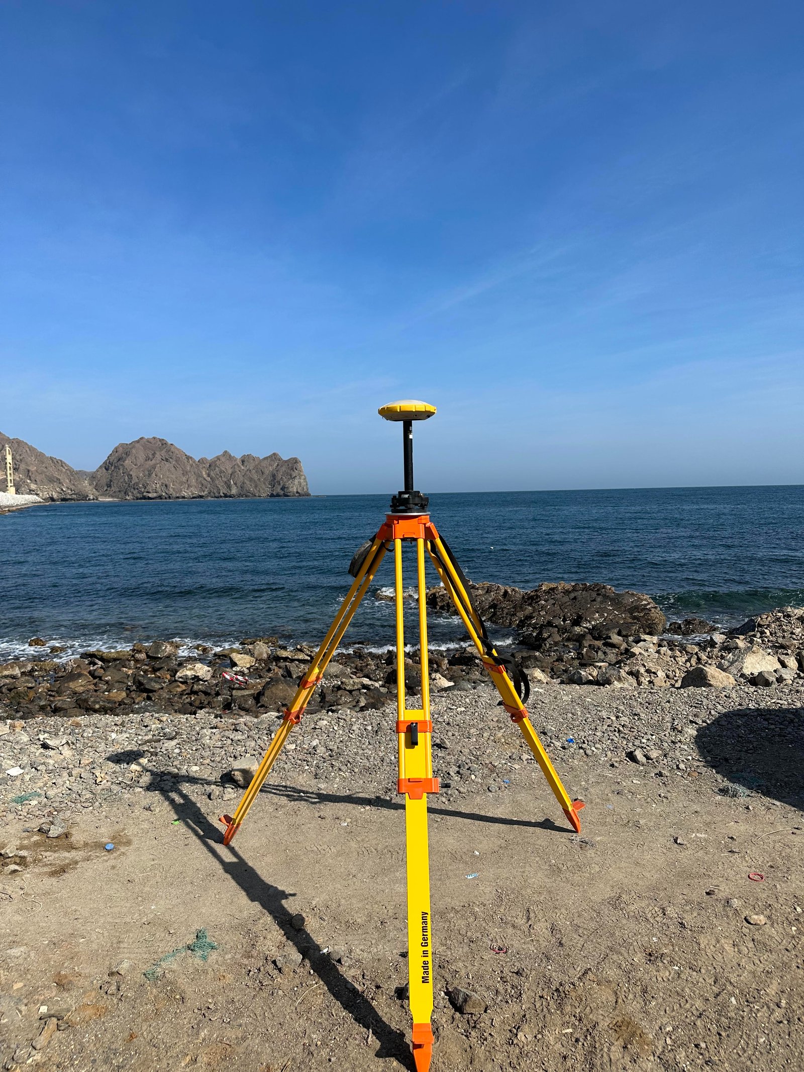
- Topographic Survey: Conducting accurate surveys to determine land contours and elevations, ensuring effective planning and design of engineering projects.
- Bathymetric Survey: Measuring water depths and creating detailed maps of seabeds and ports to support marine construction projects.
- Traffic Count Survey: Collecting and analyzing traffic data to assess traffic loads and assist in road and infrastructure planning.
- Drone Laser Survey: Utilizing advanced drone-based laser scanning technology to capture precise 3D data quickly and efficiently in large or hard-to-reach areas.
- Ground Penetrating Radar (GPR) Survey: Using GPR technology, we detect underground utilities, voids, and subsurface features without excavation. This non-invasive method provides accurate data essential for safe design, planning, and construction in complex urban environments.